- –Air
- –Water
- –Waves · flags decide
หาดไม้ขาว · Hat Mai Khao
Mai Khao Beach
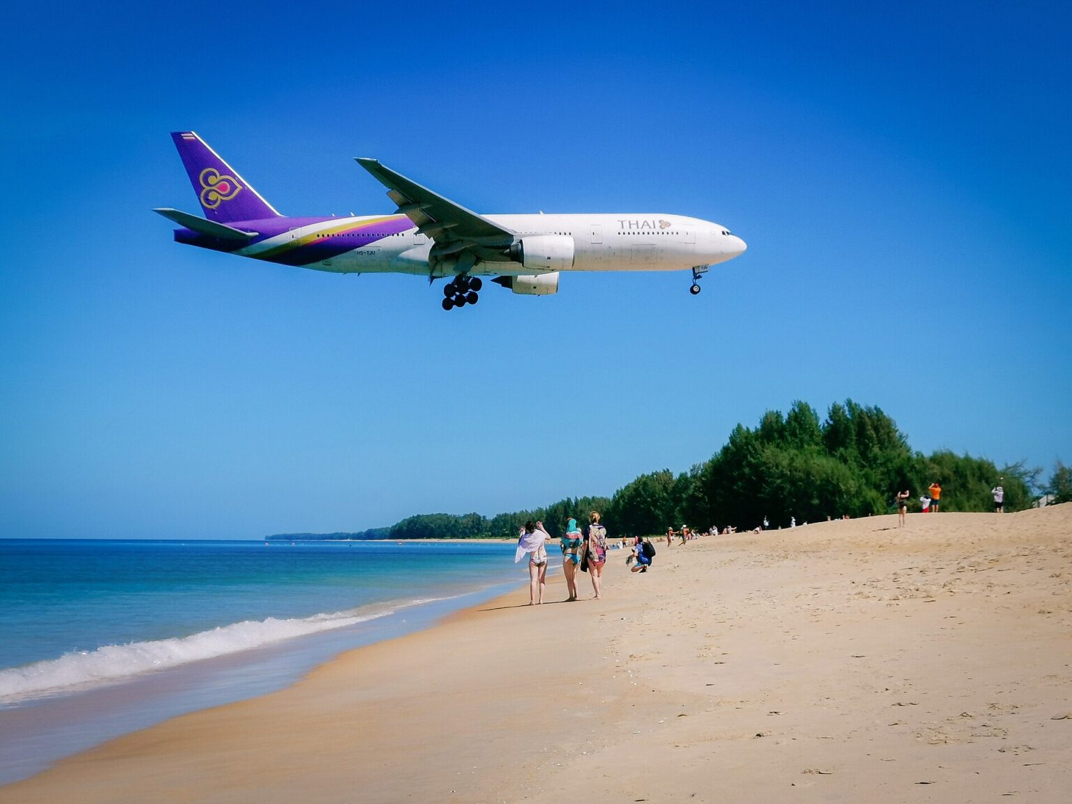
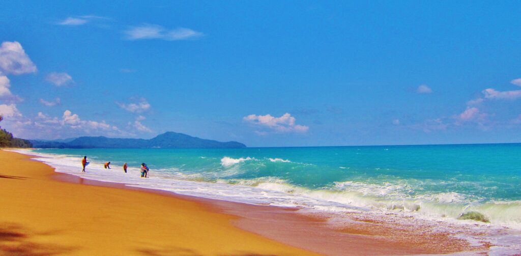
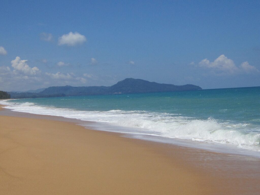
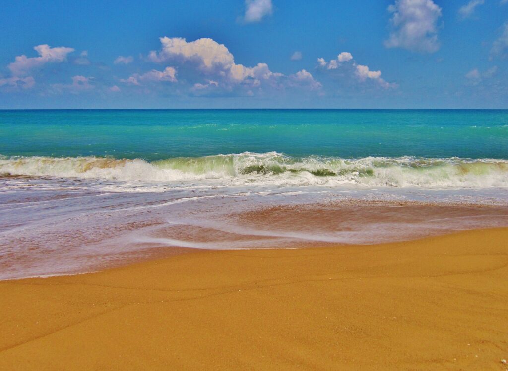
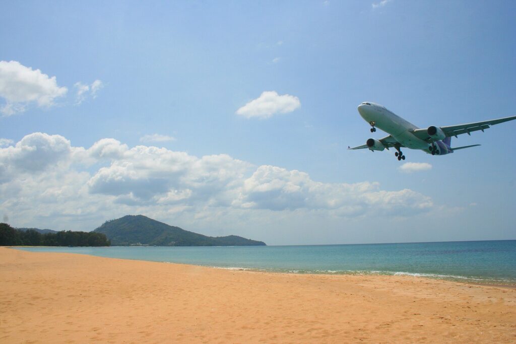
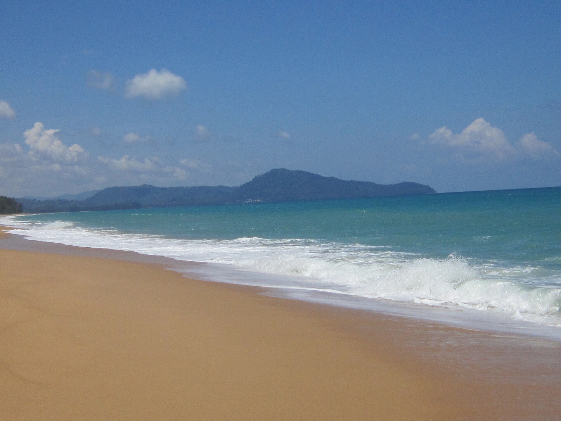
Mai Khao Beach is on the north-west coast of Phuket, next to the airport: the island’s longest beach. Planes land low over its southern end, and the sea is deep close to shore.
Photo: Athichitra, CC BY-SA 4.0, via Wikimedia Commons

About Mai Khao Beach
North-west coast of Phuket · Sirinat National Park
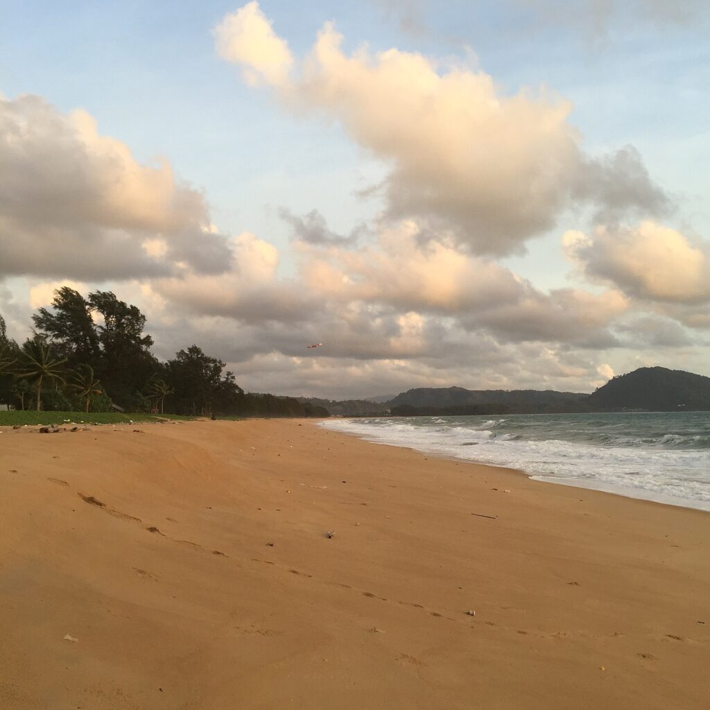
Mai Khao runs about 11 km along the north-west coast of Phuket, from the end of the airport runway to Sarasin Bridge. Resorts stand on only 4 of its 11 km; the rest is open sand with casuarina trees behind it, and most of the beach is in Sirinat National Park.
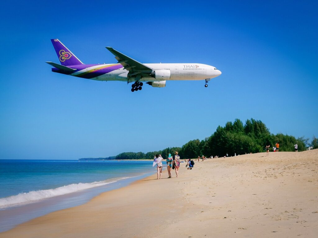
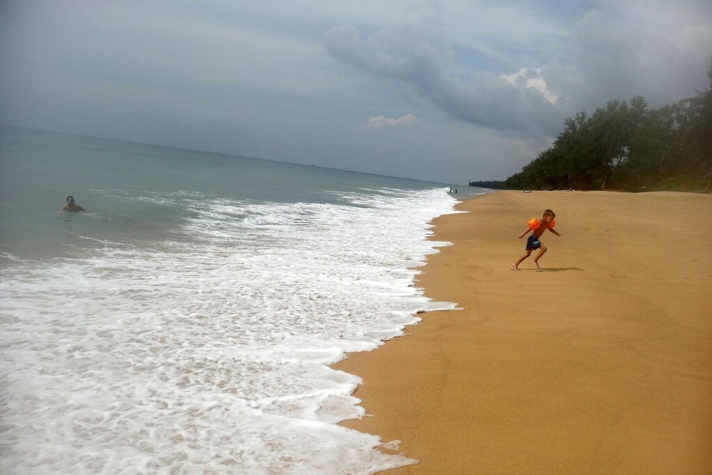
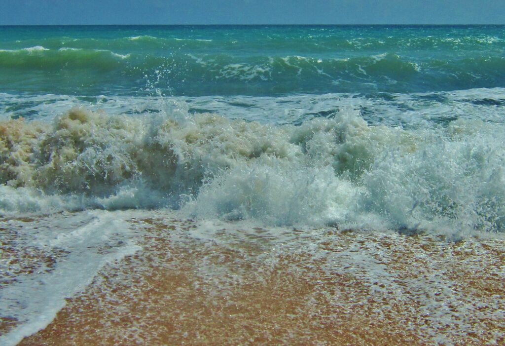
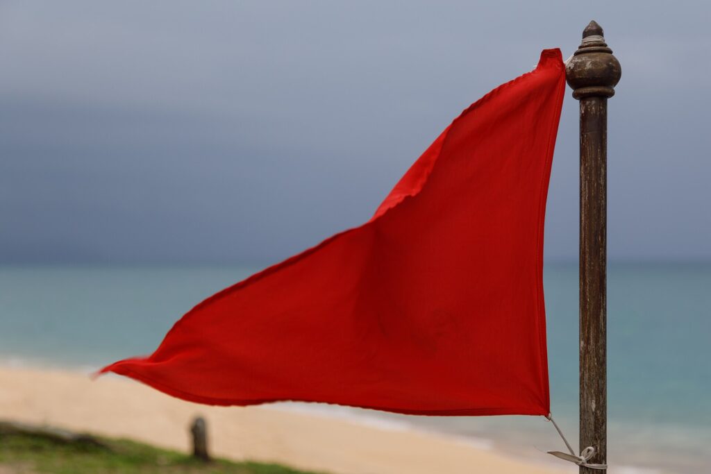
People come here to watch planes land low over the southern end, for long walks and for sunsets. Sea turtles still nest on the sand. It is not a beach for easy swimming: the seabed drops off steeply and red flags are up on most days from May to October.
- Swimming
- Risky: steep seabed. Safety
- Entrance
- Free entry
- Wildlife
- Sea turtle nesting beach, mole crabs










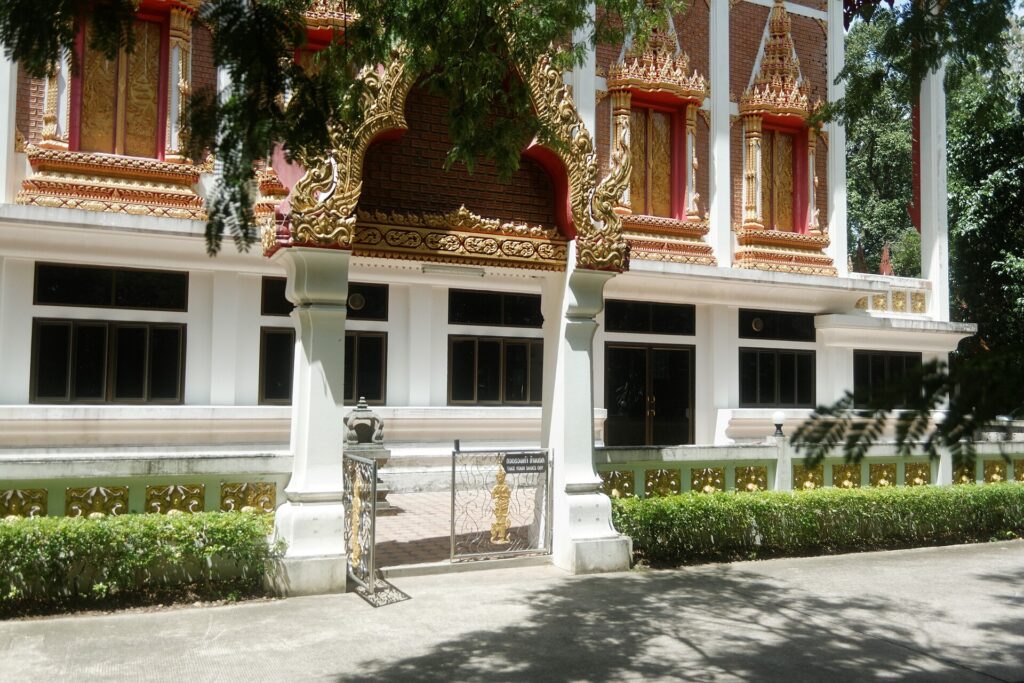

Mai Khao fast facts
Where it is, how long it takes to get here and what the sea is like
Length
About 11 km
The longest beach in Phuket, from the airport runway to Sai Kaew Beach
Faces
West
Sunset over the Andaman Sea, between 18:03 and 18:49 through the year
From Patong
53 min
By car to the centre of the beach, 44 km
From Phuket Town
47 min
By car to the centre of the beach, 41 km
Sea
29–31 °C
Water temperature all year
Cash
Cash machines at Turtle Village and in Mai Khao village; card payment near the sand is limited
Driving times without traffic: OpenStreetMap routes (OSRM), 26 October 2026. Length: Mai Khao local authority. Sea temperature and waves: Open-Meteo marine model, 2022 to 2024. Sunset: Open-Meteo, Thailand time.
Who Mai Khao is for, and who should skip it
The honest version, based on the facts on this site
Come to Mai Khao for
- Long walks on empty sandResorts stand on only about 4 of the 11 km; about 5 km of sand without a break from the plane spotting point to Turtle Village.
- Planes landing lowThe approach to runway 09 crosses the southern end; most landings come over the sand from November to February.
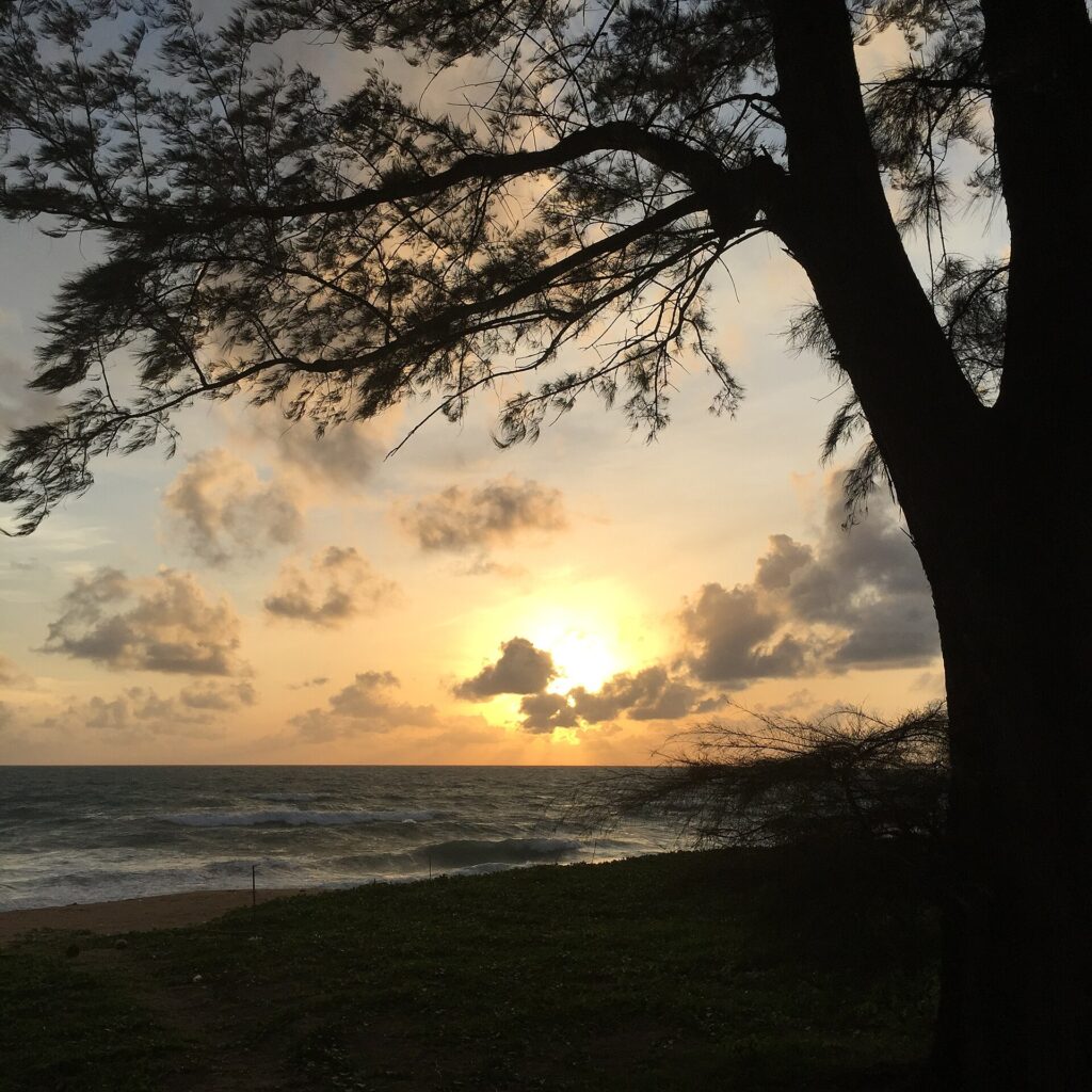
- Sunsets over the seaThe beach faces west. The pine tunnel at Soi Maliwan Uthit is a sunset spot.
- A short transfer18 min by car from the airport terminal to the plane spotting point, 26 min to the centre.
- A resort on the sandStay in a resort on the beach or in Mai Khao village, 0.5 to 1 km inland.
Plan around it, or skip it, if you want
- Calm water for swimmingThe seabed drops off steeply and red flags are up on most days from May to October. Safety
- NightlifeNo nightlife street; Patong is about 53 min away by car.
- Shops on every stretchNo shops on the sand: they are at Turtle Village and in the village near the airport.
- Fine white sandThe sand is yellow, coarse and loose, so long walks are tiring.
Come to Mai Khao to walk, watch planes and see the sunset. If a calm swim is the main plan, go further south on the island.
Things to do at Mai Khao Beach
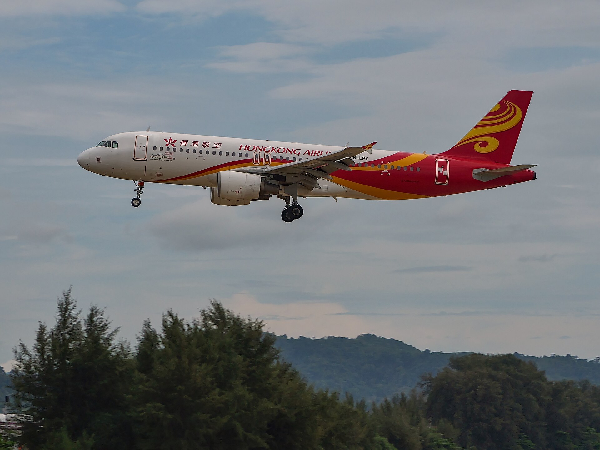
Watch planes land
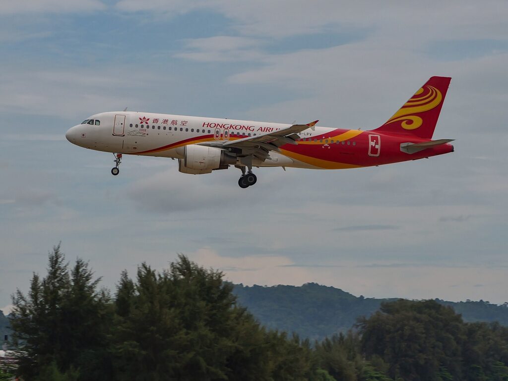
Planes cross the southern end of the beach low on approach to runway 09.
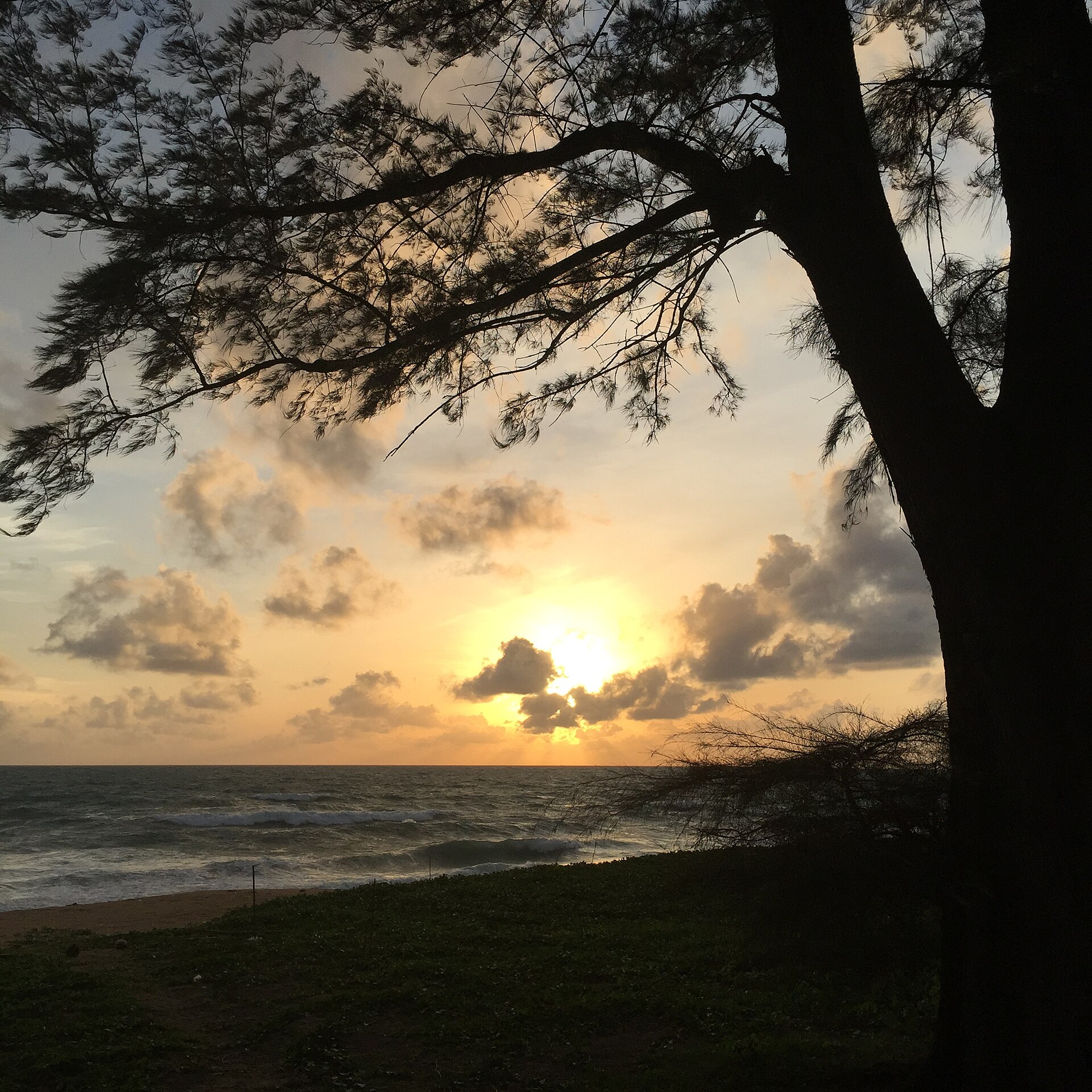
Sunset at the pine tunnel
The beach faces west. Casuarina trees form a tunnel at the end of Soi Maliwan Uthit.
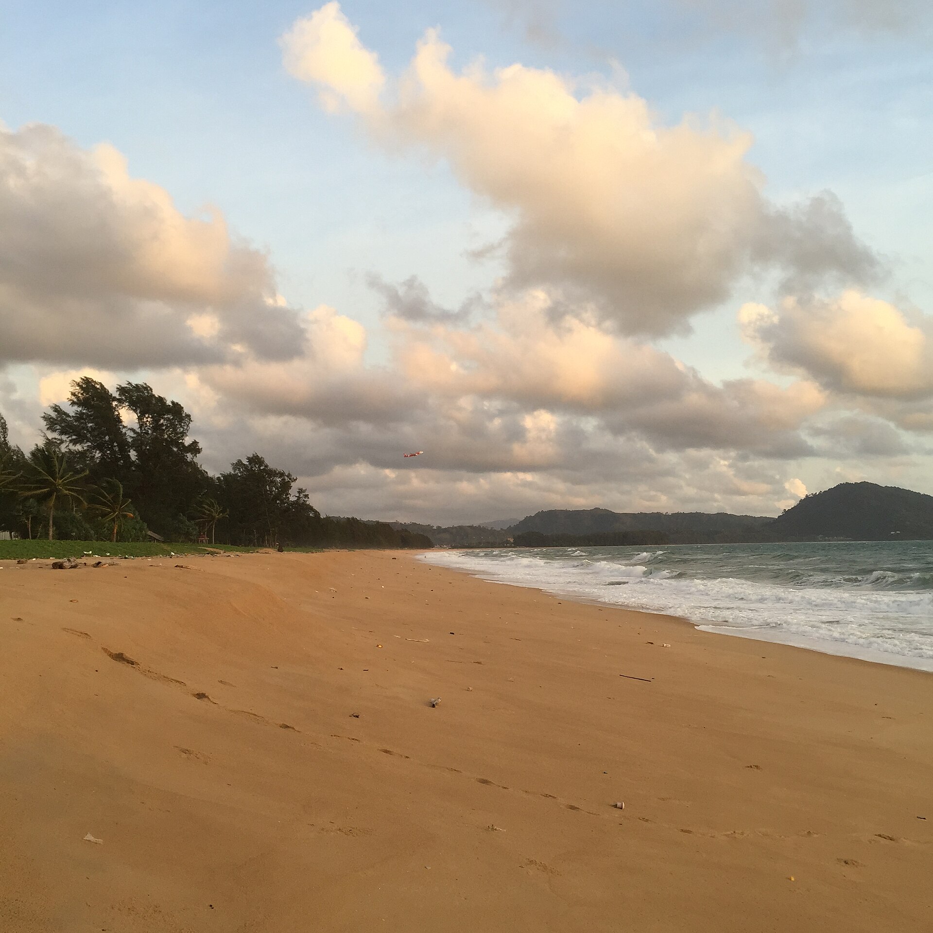
Long walks
About 5 km of sand without a break from the plane spotting point to Turtle Village.
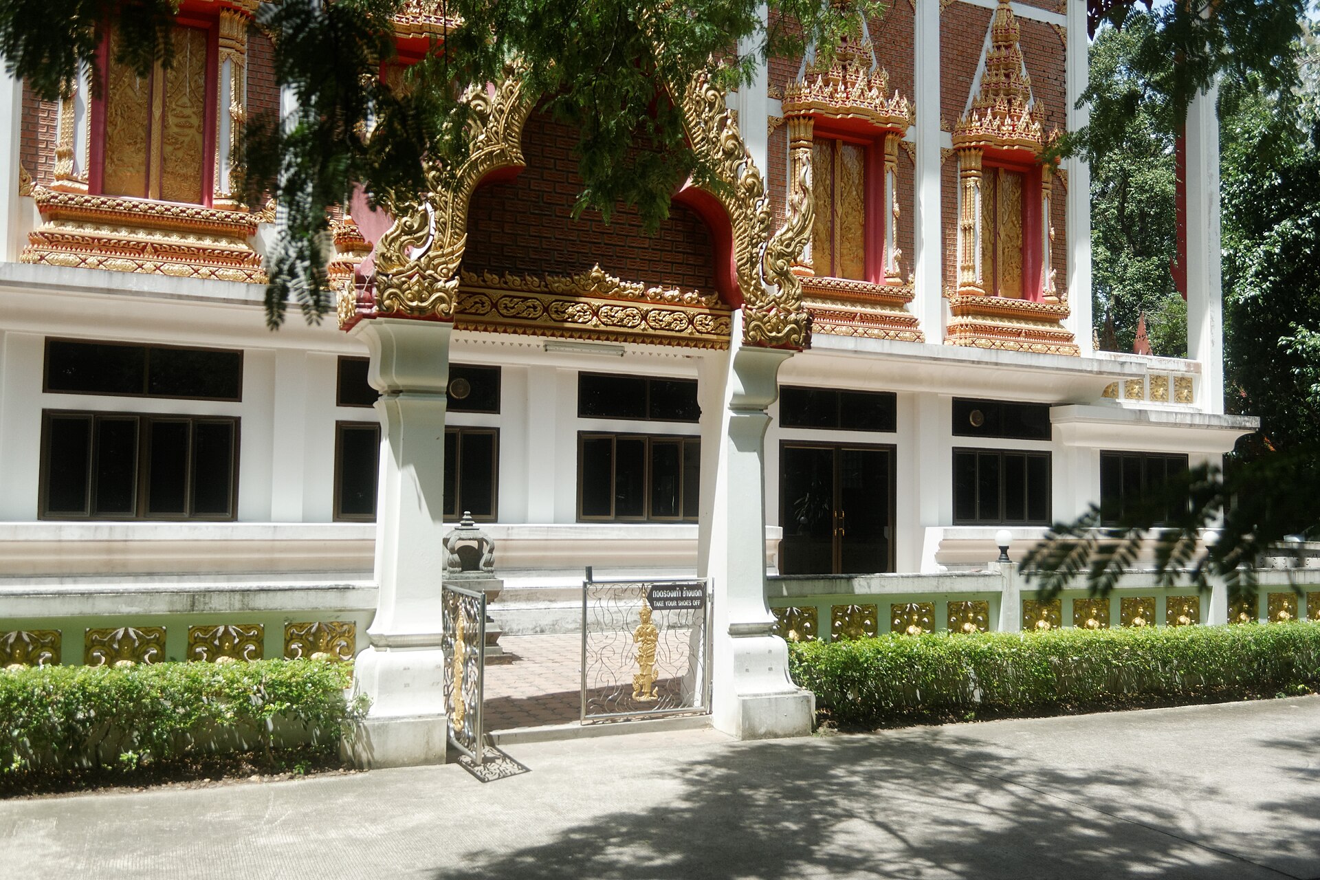
Wat Mai Khao
The village temple, just inland from the southern end. Cover shoulders and knees inside.
All things to do in Mai Khao → · Shops and cafés at Turtle Village: hours and what is inside →
Plan your visit: 2 to 8 hours
Routes for a short stop or a whole day
2 hPlanes and the temple
- Flight Viewing PointFree parking on Soi Mai Khao 7. Planes cross the beach low, best November to February. Landing times
- Wat Mai KhaoThe village temple, just inland. Cover shoulders and knees inside.
4 hPlanes and a beach lunch
- Flight Viewing PointWatch a few landings from the sand.
- Walk northAbout 5 km of sand without a break up to Turtle Village.
- Lunch on the beachBeach restaurants, south to north
6 hSouth to north, ending at sunset
- Planes in the southStart at the Flight Viewing Point.
- Turtle VillageShops and cafes, open daily 10:00 to 22:00. What is inside Turtle Village
- Pine tunnel at sunsetCasuarina trees at the end of Soi Maliwan Uthit. Sunset is between 18:03 and 18:49.
 8 h
A day with children
- Splash JungleWater park, open daily 10:00 to 18:30, 19 min by car from the centre of the beach.
- PlanesLate afternoon at the Flight Viewing Point.
- SunsetPine tunnel or the beach in front of your hotel.
Swimming is not part of these plans: check the flags on the beach first. Times are for driving without traffic.
Safety at a glance
Mai Khao is a beach for walking more than swimming. Read this before you go in the water.
- SwimmingRiskySteep seabed close to the shore
- Red flagsMay to OctoberUp on most days in the monsoon
- LifeguardsNot confirmedAssume there is no lifeguard near you
- Calm seasonNovember to AprilWaves around 0.5 m; still check the flags
Red flag: do not go in the water. No flag does not mean safe.
Emergency: tap to call
- 1155Tourist Police, English-speaking
- 1669Ambulance
- 191Police and all emergencies
- 1196Accidents in the water
Numbers from the Thai government portal.
Where to eat nearby
Beach restaurants with the most Google reviews
Maikhao Beach. Drinks & Restaurant
★ 4.7 (596 Google reviews) · Daily 10:30–22:00
Lay Mai Khao Seafood Restaurant
★ 4.7 (350 Google reviews) · Daily 11:00–22:00
JJ's Bar and Food
★ 4.7 (478 Google reviews) · Daily 11:00–22:00
Where to stay near Mai Khao Beach
Resorts on the sand with the most Google reviews
Baan Mai Khao
★ 4.5 (181)On the beach · centre of the beach
Renaissance Phuket Resort & Spa
★ 4.7 (2,028)On the beach · centre of the beach
SALA Phuket Mai Khao Beach Resort
★ 4.7 (2,182)On the beach · centre of the beach
How to get to Mai Khao Beach
Where it is on Phuket and how long the drive takes
By car from the centre of Mai Khao Beach, without traffic
- 1Sarasin BridgeBridge to the mainlandnorth end
- 2Sai Kaew BeachNext beach to the north9min
- 3Phuket AirportTerminal26min
- 4Splash JungleWater park19min
- 5Nai Yang BeachNext beach to the south26min
- 6PatongMain resort town53min
- 7Phuket TownOld town and the island capital47min
- 1Sai Kaew BeachNorth-west coast, next beach to the north9min
- 2Nai Yang BeachNorth-west coast, next beach to the south26min
- 3Nai Thon BeachWest coast30min
- 4Layan BeachWest coast37min
- 5Surin BeachWest coast39min
- 6Bang Tao BeachWest coast41min
- 7Kamala BeachWest coast46min
- 8Patong BeachWest coast57min
- 9Karon BeachWest coast62min
- 10Ao Yon BeachEast coast, Cape Panwa64min
- 11Kata BeachWest coast65min
- 12Panwa BeachEast coast, Cape Panwa66min
- 13Kata Noi BeachWest coast68min
- 14Rawai BeachSouthern tip of the island70min
- 15Nai Harn BeachSouthern tip of the island73min
- 1Ton Sai WaterfallWaterfall, Khao Phra Thaeo forest33min
- 2Bang Pae WaterfallWaterfall, Khao Phra Thaeo forest35min
- 3Phuket Old TownSino-Portuguese old town51min
- 4Wat ChalongTemple59min
- 5Karon ViewpointViewpoint over Kata and Karon68min
- 6Big BuddhaHilltop statue and viewpoint69min
- 7Rawai seafood market and pierSeafood market and pier69min
- 8Promthep CapeCape at the southern tip, sunset spot73min
Free parkingSoi Mai Khao 7, at the plane spotting end
Driving times: OpenStreetMap routes (OSRM), 26 October and 14 November 2026. Taxi, Grab, bus and parking: full directions →
Beaches next to Mai Khao
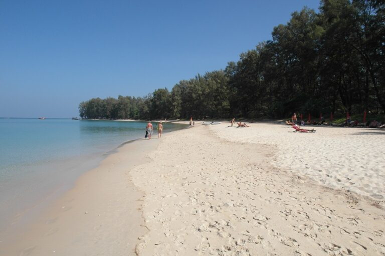
Nai Yang Beach
On the other side of the airport runway. The Sirinat National Park office is at Nai Yang.
Photo: Wolfgang Holzem, CC BY-SA 4.0, via Wikimedia Commons

Sai Kaew Beach
The sand continues north of the pine tunnel, more than 3 km to Sarasin Bridge. The local authority notes a steep seabed there too.
Questions about Mai Khao Beach, Phuket
Where is Mai Khao Beach?
On the north-west coast of Phuket island, in Thalang district. The beach starts at Nai Yang Beach, passes the end of the airport runway and runs about 11 km north to Sai Kaew Beach near Sarasin Bridge, the road bridge to the mainland (Mai Khao local authority). Map of Mai Khao Beach
Can you swim at Mai Khao Beach?
Swimming is risky. The local authority says the seabed drops off steeply and visitors usually do not swim here. From May to October red flags are up on most days, and no lifeguards are confirmed. Safety and the flags
How far is Mai Khao from Phuket airport and Patong?
From the airport terminal it is 18 minutes by car to the plane spotting point and 26 minutes to the centre of the beach. From Patong it is about 53 minutes (44 km), from Phuket Town about 47 minutes (41 km), without traffic. Getting there
What is Mai Khao known for?
For three things: planes landing low over the southern end, about 11 km of quiet sand inside Sirinat National Park, and sea turtles, which still nest here. A leatherback nest with 137 eggs was found near the JW Marriott on 24 February 2024 (The Phuket News). Things to do in Mai Khao
Is Mai Khao Beach worth visiting?
Yes, if you want a long, quiet beach and want to see planes land, mostly from November to February. No, if your plan is to swim in calm water or go out at night. Is Mai Khao Beach good? More answers
Is Mai Khao a good area to stay?
For a quiet stay close to the airport, yes: resorts stand on the sand, and the terminal is 18 to 27 minutes away by car. There is no town and no nightlife street on the beach. Hotels near Mai Khao Beach
Is Mai Khao Beach clean?
Mostly near the resorts, less so after storms. A cleaning team works about 4 km of the beach six days a week, and from May to October currents wash in plastic bottles and fishing gear. A pilot clean-up removed 10.35 tonnes of litter from July to November 2025 (The Phuket News, June 2026). How we score cleanliness
What is the sand like?
Yellow and coarse, and loose underfoot, so walking far on it is tiring. Published descriptions agree on the coarse grain; we will re-check it on site. Beach score: sand
Is there an entrance fee for Mai Khao Beach?
No. Entry to Mai Khao Beach is free. Sirinat National Park charges a fee at its checkpoint at Nai Yang Beach, south of the airport. Getting there and parking
Which month should you not visit Mai Khao?
If you want a calm sea, avoid May to October. September and October are the wettest months, with about 350 and 336 mm of rain (Phuket station, 1991 to 2020). Weather by month
Can you see sea turtles at Mai Khao?
Sometimes, in the nesting season, and only from a distance. Keep lights off near the sand at night and call the Mai Khao Marine Turtle Foundation, +66 76 338 040, if you see a turtle or a nest. Sea turtles at Mai Khao
Is there nightlife at Mai Khao?
Not much. The bars are on the beach and in the resorts, and most close between 21:00 and 23:00. Patong is about 53 minutes away by car. Bars and nightlife
Facts last checked against sources: 26 October 2026 · How we check. Not yet checked on the ground: lifeguard posts; toilets and showers.