- –Air
- –Water
- –Waves · flags decide
Mai Khao weather
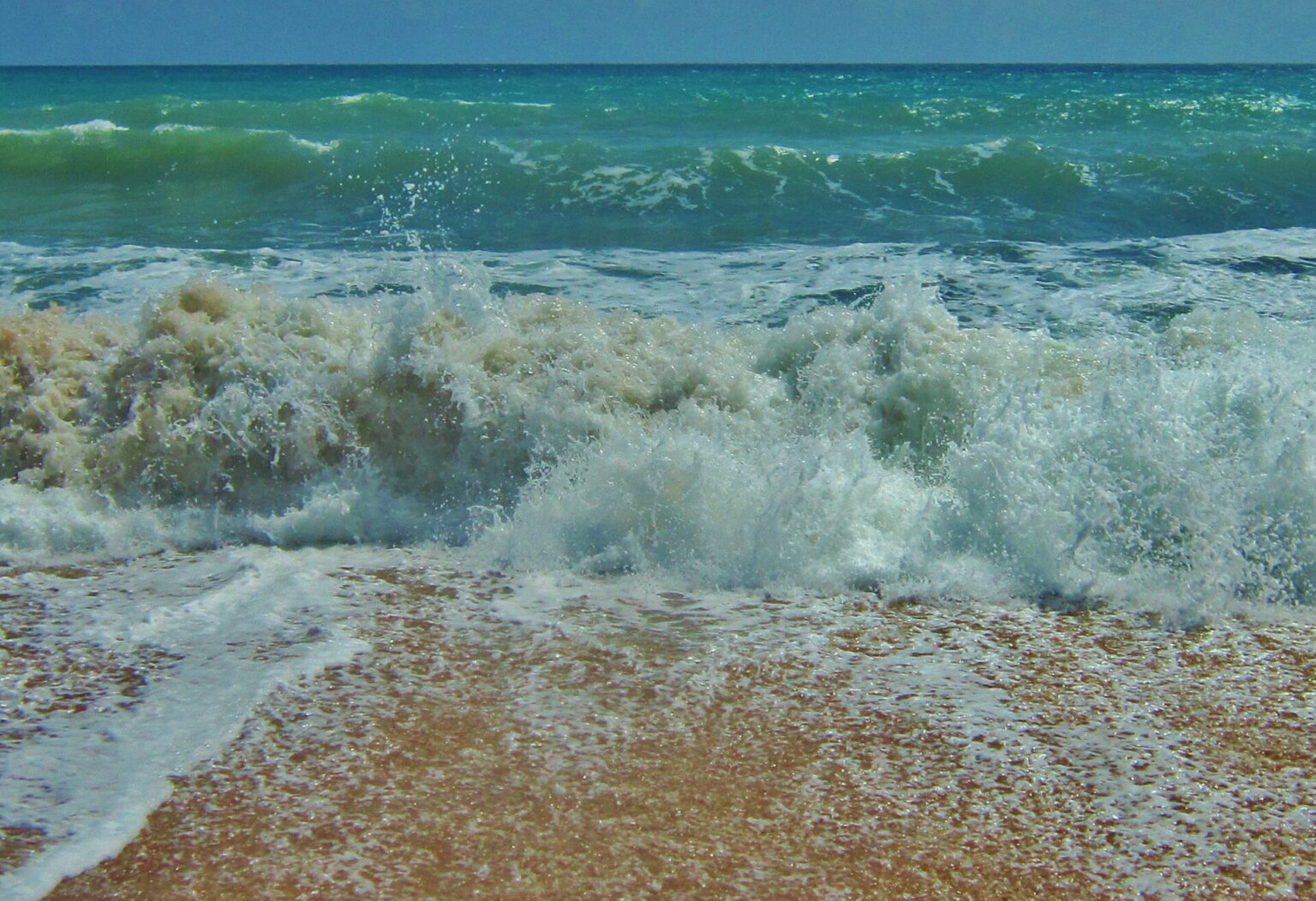
Mai Khao has two seasons. From November to April the sea is calm and rain is rare. From May to October the south-west monsoon brings rain, waves and red flags.
Photo: Michelle Maria, CC BY 3.0, via Wikimedia Commons

Weather at Mai Khao Beach today
Loading current conditions…
Air now
–
Sea water
–
About 29–31° all year
Wind
– km/h
UV today, max
–
Waves now
–
Only the flags on the beach tell you if swimming is allowed
Waves, 7 days (daily max, m)
Sunrise and sunset
Next 24 hours
7 days
Current conditions are unavailable right now. Check the flags on the beach.
Is today a good beach day?
Loading the forecast…
Today at Mai Khao
–
A good beach day is not a safe swimming day. The seabed drops off steeply. Red flag: do not go in the water. What the flags mean
Tides today (model)
–
At low tide the strip of sand is wider. Times from the Open-Meteo marine model, hourly, not an official tide table: real times can differ by an hour or more.
10-day forecast: rain, wind and waves
Days 8 to 10 are less certain than the first week, so check again before you go.
| Day | Beach day | Waves, max | Rain chance | Wind, max | UV, max | Planes |
|---|
How the rating works. A day is Good when waves stay under 0.8 m, the chance of rain is under 30 % and wind stays under 20 km/h. It is Fair when any one of them is higher, and Poor when waves are over 1.2 m, rain is more likely than not (over 60 %), or wind is over 30 km/h. Planes: with an east wind, landings usually come in over the beach; with a west wind, mostly take-offs (plane spotting guide). Forecast and wave model: Open-Meteo, for the centre of the beach.
The forecast is unavailable right now. Check the flags on the beach.
Best time to visit: November to April
November to April: calm sea
- Waves around 0.5 m; February is the driest month
- The wind blows from the north-east
- Planes land over the beach on most days (plane spotting guide)
May to October: rain, waves and red flags
- Rain on about 16 to 19 days a month
- Waves of 1 to 1.3 m on average, storms up to 2 to 3 m
- Red flags on most days (what the flags mean)
Sunrise and sunset
Sunrise between 06:07 and 06:46, sunset between 18:03 and 18:49 across the year, Thailand time (UTC+7). Where to watch the sunset
Sea temperature
About 29 to 31 °C all year, warmest in May.
Weather and sea temperature by month
Dry seasonMonsoonAir: average high / low °C · Rain: total and days with 1 mm or more
November
32° / 25°
178 mm · 13 days
Sea 30°
December
32° / 25°
82 mm · 8 days
Sea 29°
January
33° / 25°
50 mm · 4 days
Sea 29°
February
34° / 25°
24 mm · 2 days
Sea 29°
March
34° / 26°
81 mm · 6 days
Sea 30°
April
34° / 26°
135 mm · 10 days
Sea 30°
May
33° / 26°
237 mm · 16 days
Sea 31°
June
33° / 26°
249 mm · 16 days
Sea 30°
July
32° / 26°
240 mm · 16 days
Sea 30°
August
32° / 26°
309 mm · 17 days
Sea 30°
September
32° / 25°
350 mm · 19 days
Sea 29°
October
32° / 25°
336 mm · 19 days
Sea 30°
Show as a table
| Month | Air °C, high / low | Rain | Sea °C |
|---|---|---|---|
| November | 32 / 25 | 178 mm, 13 days | 30 |
| December | 32 / 25 | 82 mm, 8 days | 29 |
| January | 33 / 25 | 50 mm, 4 days | 29 |
| February | 34 / 25 | 24 mm, 2 days | 29 |
| March | 34 / 26 | 81 mm, 6 days | 30 |
| April | 34 / 26 | 135 mm, 10 days | 30 |
| May | 33 / 26 | 237 mm, 16 days | 31 |
| June | 33 / 26 | 249 mm, 16 days | 30 |
| July | 32 / 26 | 240 mm, 16 days | 30 |
| August | 32 / 26 | 309 mm, 17 days | 30 |
| September | 32 / 25 | 350 mm, 19 days | 29 |
| October | 32 / 25 | 336 mm, 19 days | 30 |
Air temperature, rain and rain days: WMO climate normals 1991 to 2020 for the Phuket station, about 30 km south-east of Mai Khao (data). Sea temperature: average for 2022 to 2024 from the Open-Meteo marine model, about 10 km offshore.
Questions about the weather at Mai Khao
Which months are best to avoid at Mai Khao Beach?
If you want a calm sea, avoid May to October: the south-west monsoon brings waves and red flags on most days. The wettest months are September and October, with about 350 and 336 mm of rain (Phuket station, 1991 to 2020).
What is the coldest month in Phuket?
There is no cold month. Average night-time lows stay between 25 and 26 °C all year, and daytime highs between 32 and 34 °C (Phuket station, 1991 to 2020).
What is the weather like at Mai Khao Beach today?
The live block at the top of the page shows the air temperature, wind, waves and UV right now, and the beach-day table rates today and the next 9 days as Good, Fair or Poor. Both update live.
Is May a good time to visit Mai Khao?
May starts the monsoon: about 237 mm of rain on 16 days (Phuket station), bigger waves and frequent red flags. The sea is at its warmest, about 31 °C; the calm season is November to April.
When do planes land over the beach?
Mostly from November to February, when the wind blows from the east. The “Planes” column in the 10-day table shows the wind for the next days. Plane spotting guide
How warm is the sea at Mai Khao?
About 29 to 31 °C all year, warmest in May at about 31 °C (Open-Meteo marine model, 2022 to 2024, about 10 km offshore).
The forecast at the top of the page updates live. Climate tables last checked against sources: 26 October 2026 · How we check.